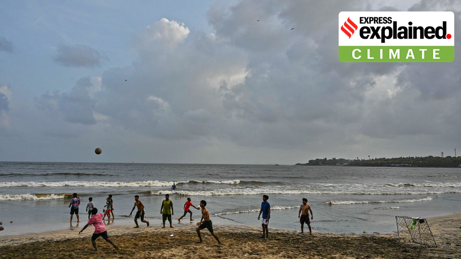
It has been a fortnight since the official commencement of the southwest monsoon season, but its performance has largely been sub-nominal so far. All-India rainfall stood 38% below average between June 1 and 17.
The June-September southwest monsoon brings more than 70% of India’s annual rainfall. Climatologically, the monsoon arrives over the Andaman Sea in the third week of May and advances into the mainland through Kerala, generally by June 1.
It then advances in surges and reaches north Uttar Pradesh, Delhi and its neighbouring areas by the end of June, and covers the entire country by July 15. Although an early or timely onset of the monsoon does not guarantee good rainfall or its distribution, or vice versa.
How has the monsoon progress been so far?
This year, the southwest monsoon onset over Kerala was on June 4, and it progressed for four consecutive days. It advanced early into parts of the west coast, including Karnataka and Goa, but marked a delayed onset over most regions in northeast India.
The rainfall intensity over Kerala, southern Karnataka, Tamil Nadu, Lakshadweep, and the whole of northeast India picked up in early June, but did not sustain for long. Upto June 10, the southwest India region recorded a 8% rain surplus.
Maharashtra’s wait for the monsoon has now gotten longer, and there are no clear indications of possible onset yet. The latest monsoonal advance was on June 8, over parts of south Konkan and adjoining areas of south Madhya Maharashtra.
Overall, the Arabian Sea branch of the monsoon appears to be making slower progress this year compared to the Bay of Bengal branch, which has covered regions upto Koraput, Phulbani, Ranchi, Jamui and Muzaffarpur, as of June 17.
Story continues below this ad
After June 8, the monsoon advance continued mainly along eastern India regions. On June 15, the monsoon advanced into the remaining parts of Andhra Pradesh, West Bengal, Telangana, Odisha, Jharkhand and Bihar.
Why does the monsoon progress over Maharashtra remain stalled?
Firstly, the monsoonal winds prevailing from the Arabian Sea since the onset period have weakened. This has resulted in the reduced moisture transportation towards the Maharashtra coast and adjoining interior regions.
Instead, stronger northerly or northwesterly dry winds are dominating the region and acting as barriers for the incoming, weak monsoonal winds. Moreover, these weak monsoon wind flows lack a strong surge from the Arabian Sea. It is these monsoon pulses that drive moisture and cause widespread rainfall while also helping the monsoon advance.
Secondly, the cross-equatorial wind flow over the western Indian Ocean and Arabian Sea has weakened. These winds also pump in moisture, aiding the southwest monsoon’s advance.
Story continues below this ad
Thirdly, the monsoon additionally requires the support of other weather systems to sustain rainfall and advance. These can be in the form of low-pressure areas or cyclonic circulations, either present over the Arabian Sea, the Bay of Bengal or an offshore trough (low-pressure belt) running parallel to the west coast. All of these are known to facilitate the advancement of the monsoon, but all are currently absent.
Lastly, apart from complementing local weather factors, the southwest monsoon requires favourable global weather factors. One such system is the Madden–Julian Oscillation (MJO), which is an eastward propagating wind and cloud band originating in the Mediterranean Sea. When MJO is in the favourable phase, it causes rainfall over India. However, that is not the case now.
All these factors combined have resulted in a sluggish Arabian Sea branch of the monsoon. Maharashtra is, in particular, bearing the brunt of rainfall across regions here now falling in the “large” deficient category, which is a deficit of between 60% and 99% below average, or more than 99% (see box).
 Rain shortfall in Maharashtra in June.
When is the next monsoon advance likely?
The India Meteorological Department (IMD) is yet to announce it.
Story continues below this ad
Since June 16, the Met department has not released any updates on monsoon advancement over Maharashtra. This not only indicates a delayed monsoon onset but also greater uncertainty over its likelihood.
On June 17, IMD Mumbai said that weather models indicate a possibility of some rainfall over Konkan around June 24 and 25. But there was no mention of the monsoon for the rest of Maharashtra.
The monsoon is most likely to advance next over Telangana, Odisha, Jharkhand, Bihar, and some parts of Chhattisgarh sometime during the next four to five days, the IMD said on Thursday (June 18).